Point au Sable Phragmites Burn

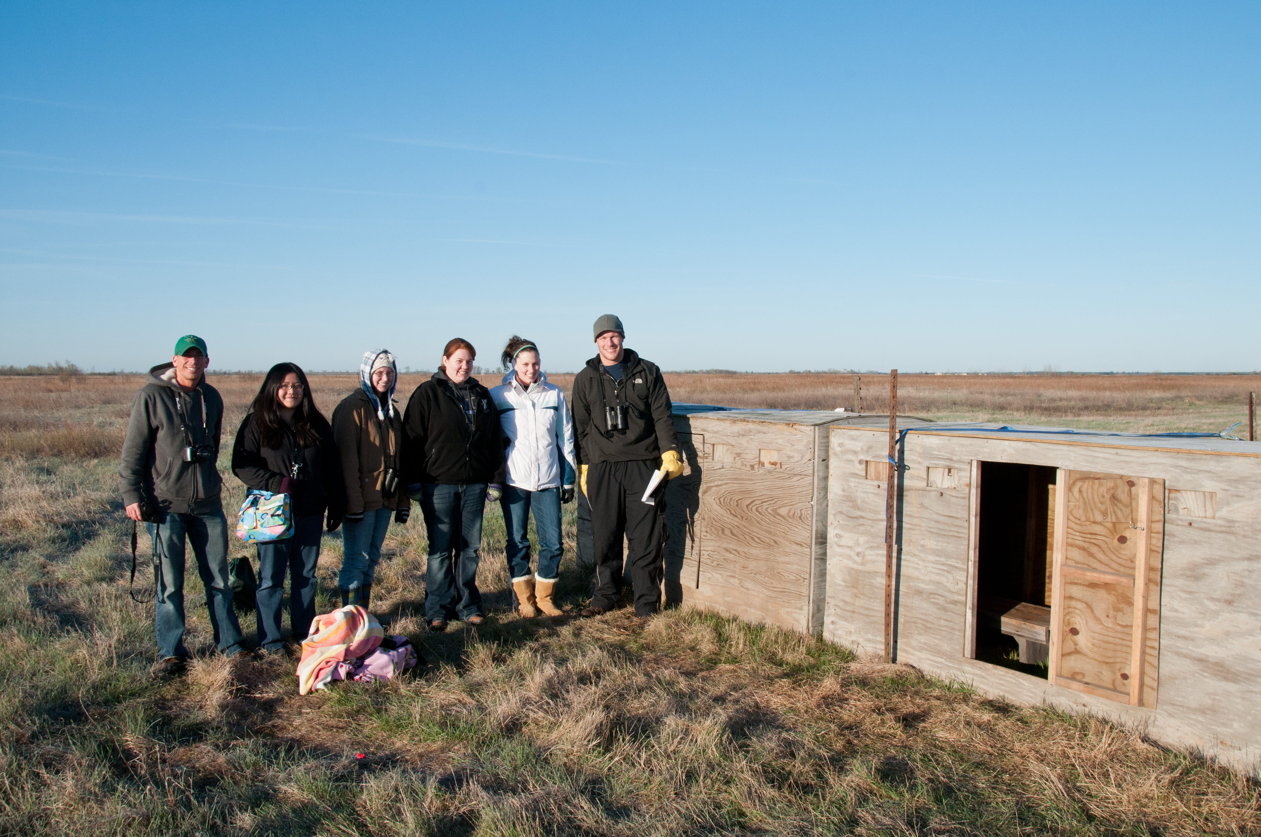
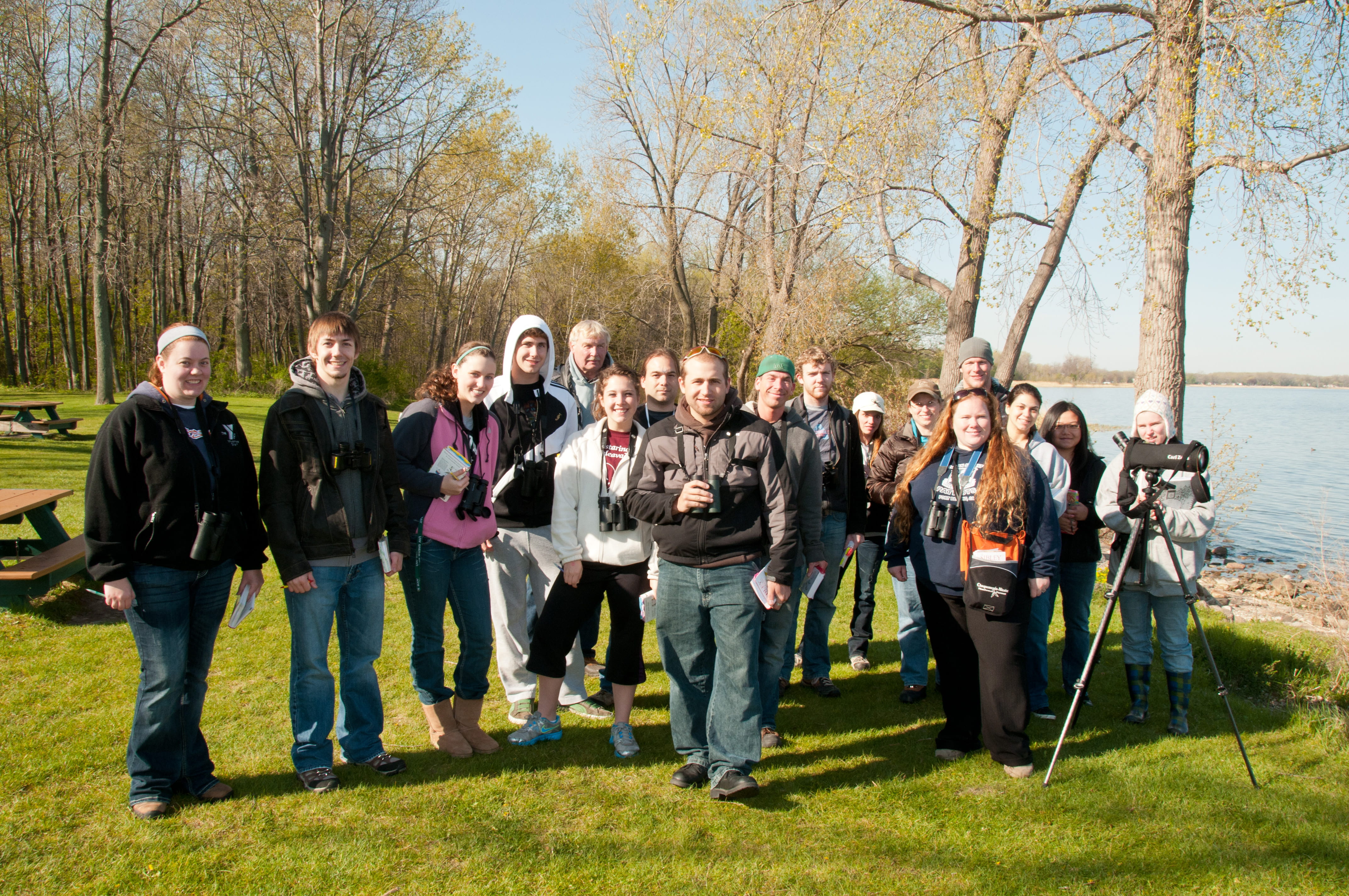
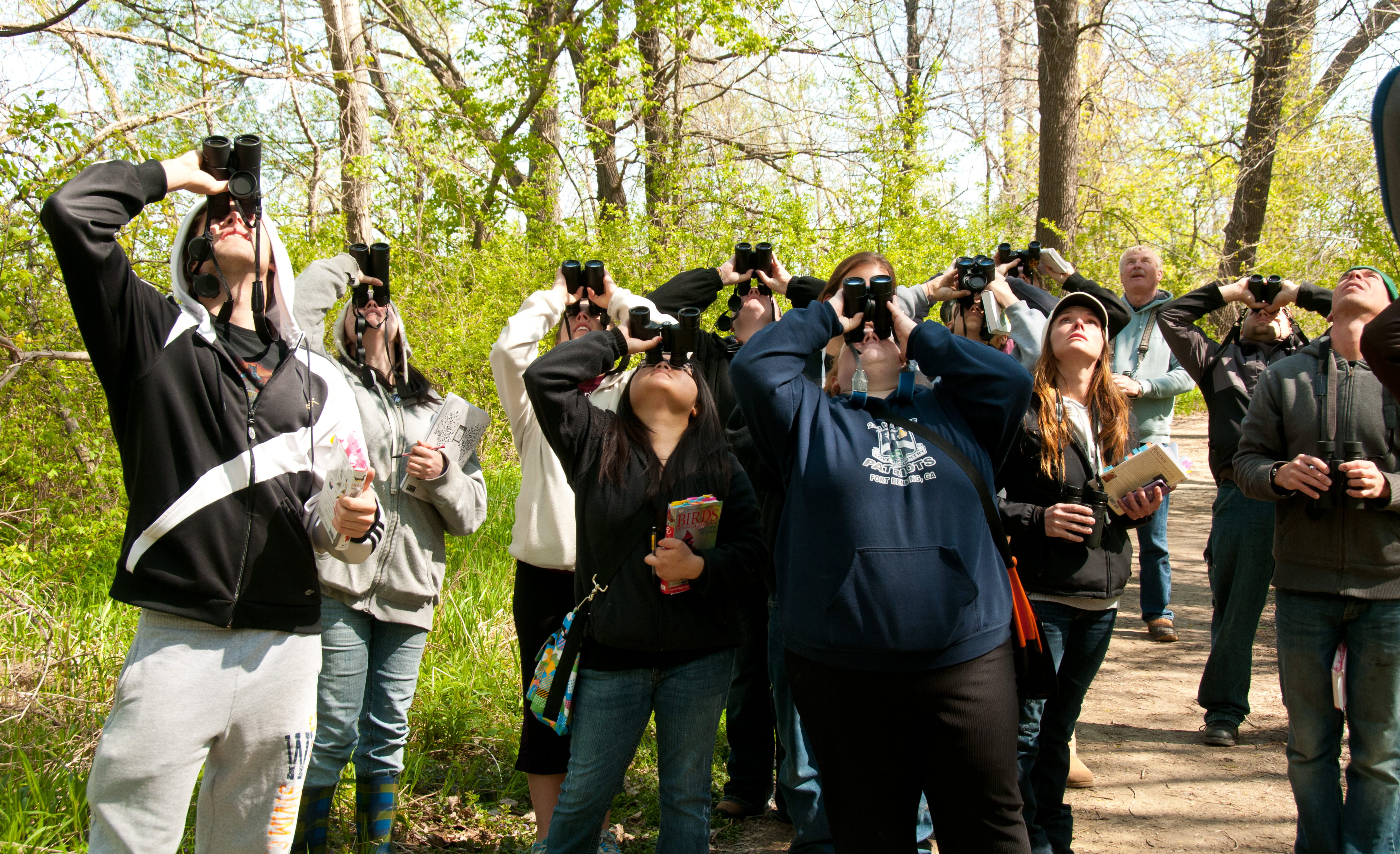
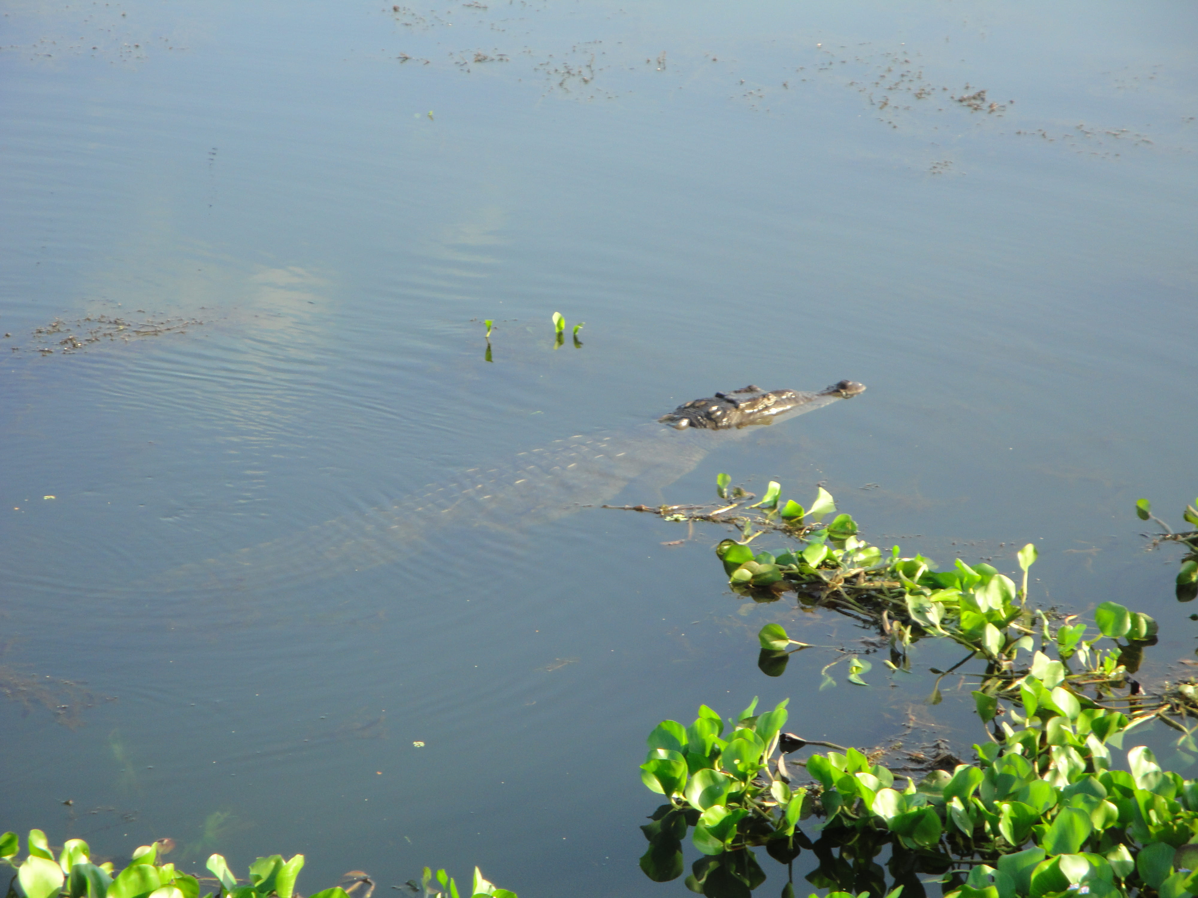
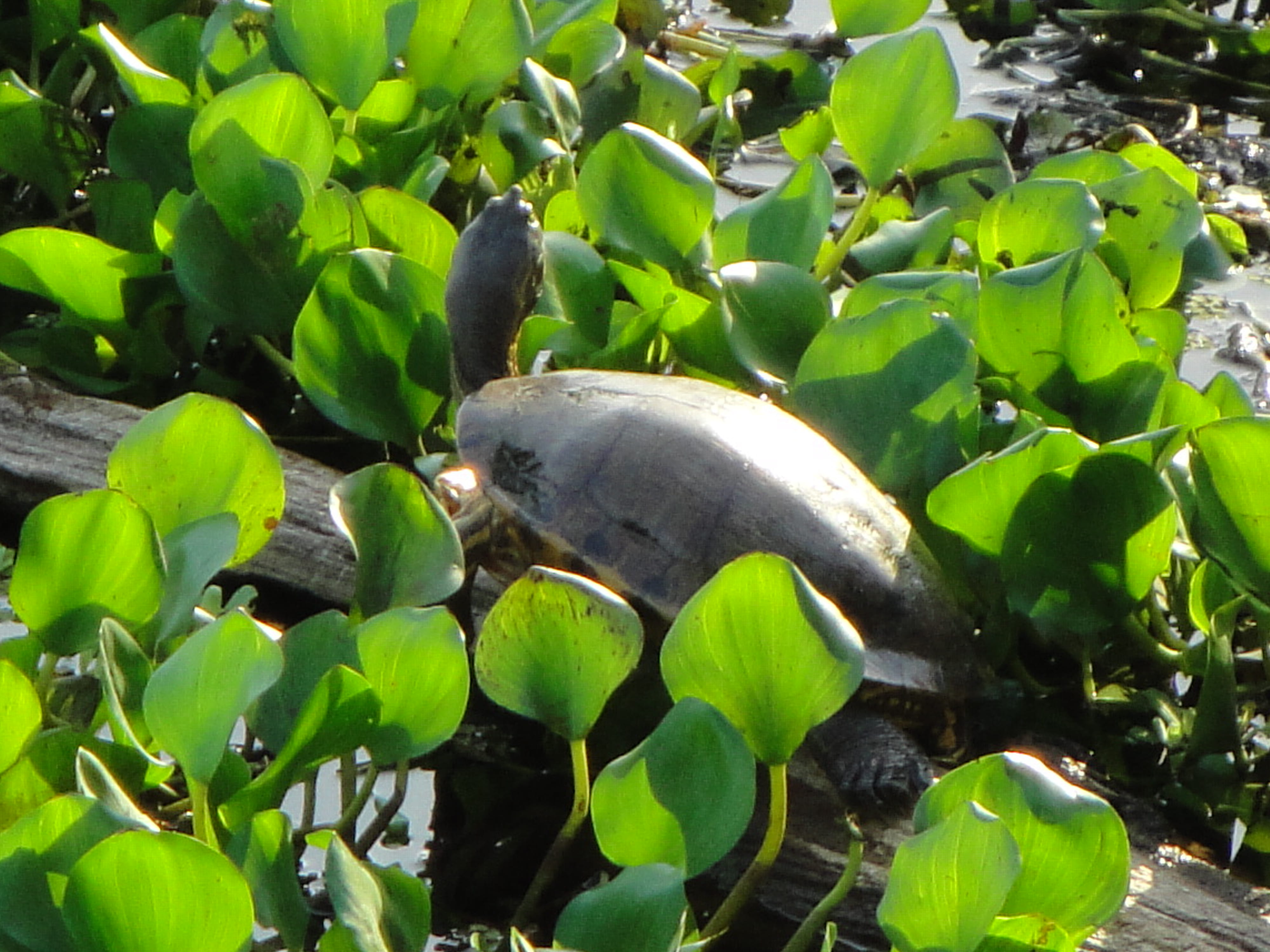
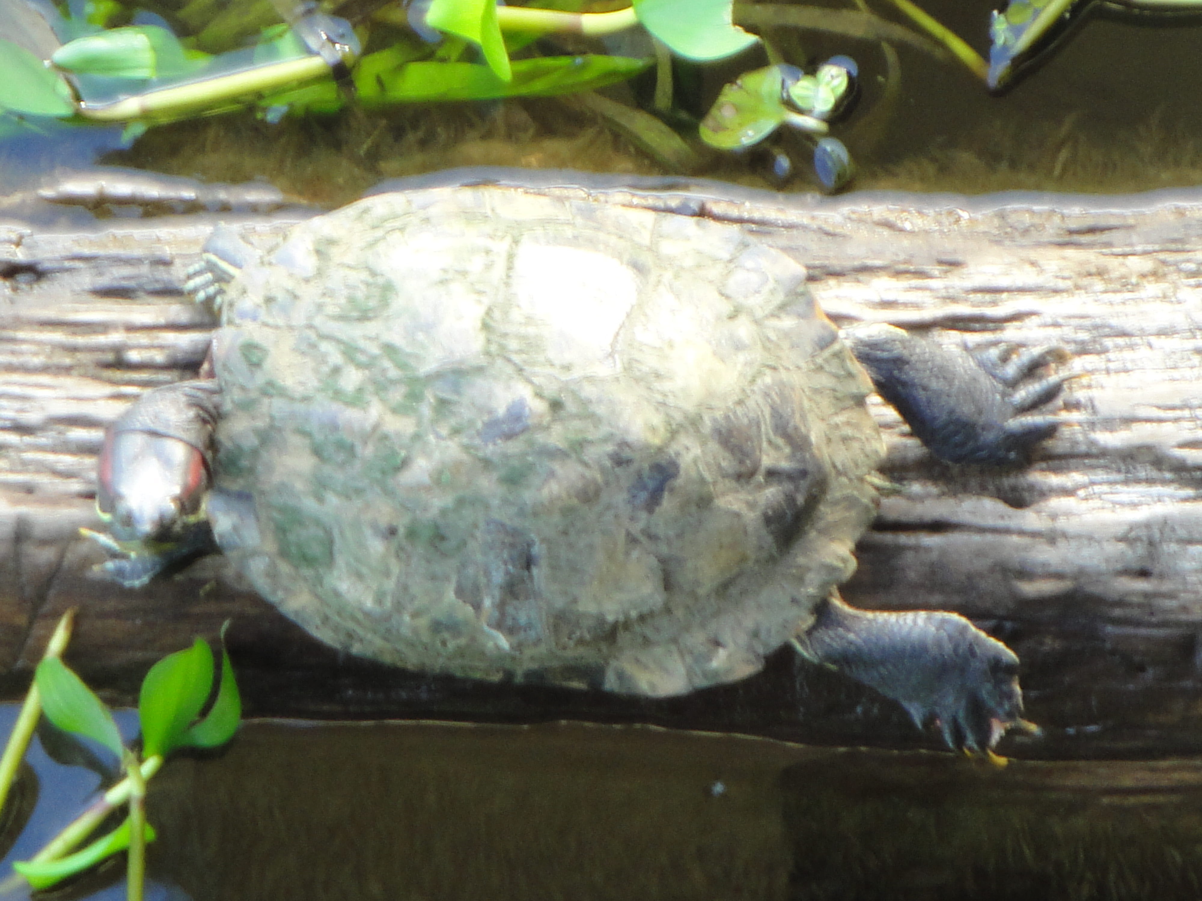
The Point au Sable Natural Area is an unmodified estuarine wetlands, one of the few in the Lake Michigan ecosystem. This area plays a very important role for the migratory birds passing through. This is the main reason why this area has stayed protected from development. In recent findings, it was shown over 200 different bird species in one year have stopped to enjoy the Point au Sable Natural Area. For more information about the Point au Sable Natural Area click on the link http://www.uwgb.edu/biodiversity/natural-areas/pt-au-sable/.

Recently the Point au Sable Natureal Area was burned in an effort to try and stop the Phragmites invasion. Phragmites australis, also known as the common reed, is an exotic invasive species. It can grow up to 3-4 meters.


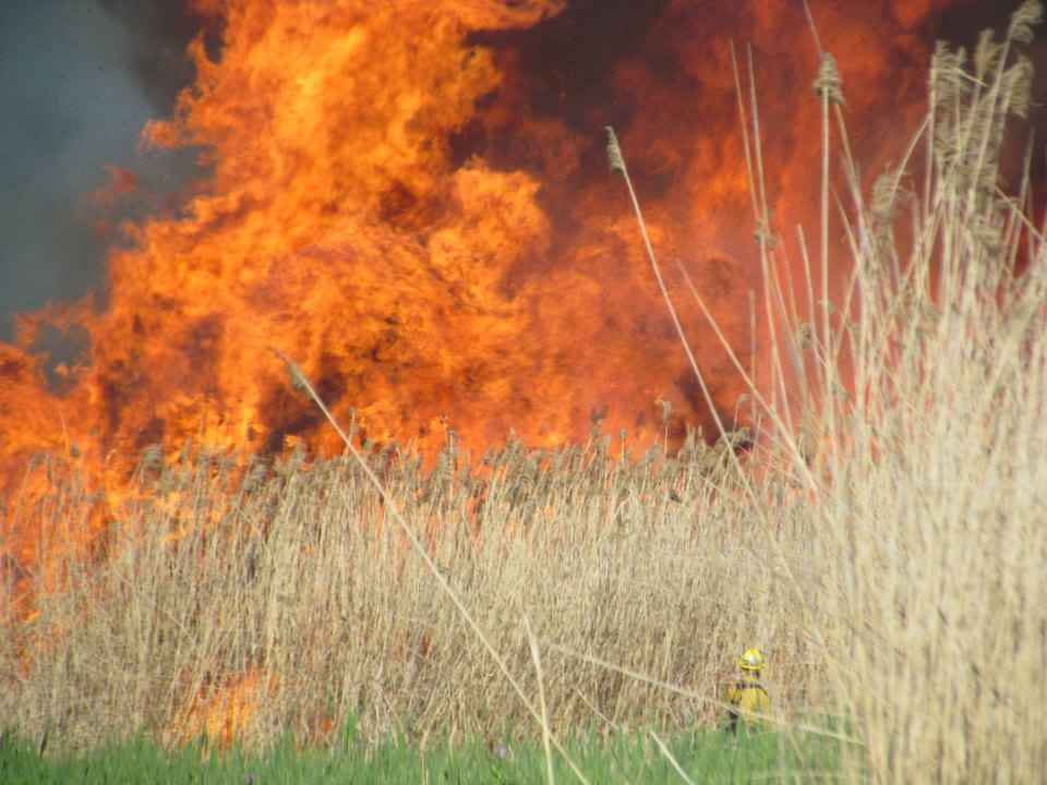
 It was estimated the flames reached 75-100 feet. If you look closely you can see a burn crew member just at the base of the Phragmites.


According to the Arboretum Project Coordinator, Joshua Martinez, “the lagoon should be a mixture of open water, submerged aquatic plants, emergent marsh, cattail marsh, and sedge meadow.  The Lagoon system is ever changing with water levels of the great lakes (more specifically the bay).  As a result, Point au Sable was historically a heavily disturbed site, not because of people but rather because of water level cycles of the great lakes.  Phragmites was present on the site in the last flooding of the lagoon in 2000, and once the water levels had receded the Phragmites was able to spread very fast because of its growth patterns of stolons and rhizomes.  This was because the soil surface of the lagoon was exposed with little vegetation on it and allowed the Phragmites to spread fast with little resistance from native plant competitors.  In addition, the lakes levels have not been following their typical water level cycle, and have been staying low for longer than expected and provides great potential for Phragmites to spread aggressively.”

For more detail on Phragmites australis and it’s growth patterns click on the link http://www.uwgb.edu/biodiversity/herbarium/invasive_species/phraus01.htm.


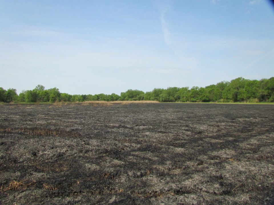
The final product after the burn. We are now able to see straight across the lagoon.


 Looking at the photos below we can see that Phragmites has greatly increased as the water levels have decreased over the years.

Lagoon 1999
Lagoon 2012


Phragmites must be monitored because they “threaten the ecological health of wetlands as well as the Great Lakes coastal shoreline.” Phragmites can

  • over take native plants and animals
  • block shoreline views
  • reduce access for swimming, fishing, and hunting
  • create fire hazards from dry plant material

One of the most effective procedures to control the Phragmites population is to use an integrated pest management approach. This approach includes

  • treating the area with herbicides
  • mechanical removal (cutting, mowing, burning)
  • annual maintenance


We have taken the first steps in burning Phragmites and we will continue to treat the Point au Sable area by using herbicides to control the Phragmites population.


References:

Michigan Department of Environmental Quality
http://www.michigan.gov/deq/0,4561,7-135-3313_3677_8314-178183–,00.html

Birder Certification Online

Red-headed Woodpecker
Red-headed Woodpecker (Melanerpes erythrocephalus)

Ever wonder how sharp your bird identification skills are? Now you can put them to the test using the Birder Certification Online website.  This free web-based program offers a rigorous method for verifying field identification skills of both professional and amateur bird observers. One of the main goals is to ensure that volunteer, as well as professional birders develop the skills they need for bird inventory and monitoring projects. The program allows participants to practice and to test their visual and audio bird identification skills through a series of online tests. This program is also a helpful educational tool for students and recreational birders. Getting certified is a great resume builder and can help birders obtain many exciting outdoor jobs.

There are three levels of certification that a birder can earn for different combinations of bird conservation regions (BCR) and habitat types. A BCR describes a defined North American region that has similar bird communities and habitat types. Currently there are tests for eight BCRs including regions in the Midwest, New England, and parts of the southeastern US and for four habitat types (forests, grasslands, wetlands, and comprehensive) per region.  Therefore, a birder can earn different levels of certification for the many different combinations of BCRs and habitat types. Birders can be tested in both visual and audio bird identification and can earn certification levels accordingly.

audio recorder.

A birder who earns a Certification Level 1 is capable of visually identifying typical backyard birds and at least some of the common species found in natural habitats. A birder who earns a Certification Level 2 is an experienced field observer who can visually identify most/all the birds of this region and habitat type without the help of a field guide and can identify most commonly observed species by song and call. A Level 3 certified birder is capable of conducting complete and accurate bird surveys using point counts, transects, or other standard methods and providing scientifically rigorous data. For more information on certification levels click on the link: http://www.birdercertification.org/Levels.htm.

 Birders can also take a newly added specialty test called BCR 101, also known as the Great Lakes Waterbird Visual Test. A birder can be certified in BCR 101 simply by taking any habitat category in the BCR 101 visual test module. There are  no audio test modules for this category.

The Birder Certification Online program is a project coordinated by the Cofrin Center for Biodiversity at the University of Wisconsin-Green Bay, with funding and collaboration from the Wisconsin Department of Natural Resources, Wisconsin Bird Conservation Initiative, National Park Service, and U.S. Fish & Wildlife Service.

Check out the birder certification website and put your birding skills to the test!

Spotting scope.
A spotting scope makes visual identification of distant birds easier.

Lower Fox River Watershed Monitoring Program

Recently the University of Wisconsin-Green Bay held the ninth annual Watershed Symposium for The Lower Fox River Watershed Monitoring Program. The LFRWMP partnered with many programs to aid in their research and give the students an opportunity to learn more about watershed monitoring. These program partners were Appleton East High School, Appleton North High School, Ashwaubenon High School, Boys & Girls Club of Green Bay, Green Bay East High School, Green Bay Preble High School, Green Bay Southwest High School, Luxemburg-Casco High School, Oneida Nation High School, Oshkosh North High School, Pulaski High School, and West DePere High School.


The LFRWMP is a continuing program that provides high-quality data which is used for making decisions about improving water quality and foster habitat restoration within the Fox River Basin. The Lower Fox River Watershed Monitoring Program has four main goals

  1. Strengthen student and teacher knowledge and understanding of land use impacts on water quality and stream ecosystems
  2. Enhance teacher capacity to teach watershed science by providing hands-on training in water quality and biological indicator monitoring techniques and data interpretation
  3. Develop a long-term watershed integrity database that helps users understand changes over time and contributes to improved watershed management strategies
  4. Provide ongoing opportunities for high school students and teachers to engage in hands-on science and to interact with other students, university scientists, resource managers and community professionals


To read more about the LFRWMP go to http://www.uwgb.edu/watershed/about/index.htm.


Students from the program partners are allowed the opportunity for hands-on field work sampling and their school research posters, presentations, and videos can be found at http://www.uwgb.edu/watershed/school.htm.


The symposium and Lower Fox River Watershed Monitoring Program are supported by a gift from Arjo Wiggins Appleton Ltd.


Phenology

Everyone has noticed how strange our spring weather has been this year. One thing you might be wondering is why this occurred, or how this weather affects the natural world. The study of the timing of natural events is called phenology. There are three main factors that affect phenology 1) sunlight 2) temperature and 3) precipitation. Some examples of phenology include when migrating birds return, when plants first flower, and when lakes freeze and reopen. It is important to keep phenological records. By keeping records it allows us to look at the changes over the years at different geographic regions. This also helps us understand interactions between organisms and their environment and the effects of climate change. The Cofrin Arboretum Center for Biodiversity keeps records of important natural events in the western Great Lakes region during all months of the year. These records can be accessed at http://www.uwgb.edu/biodiversity/phenology/. The Wisconsin State Climatology Office also holds an impressive database which you can access at http://www.aos.wisc.edu/~sco/

Why is phenology so important? Over the years we observe that phenological events vary. Ecosystems are able to recover from variation between years but when these changes happen consistently over a long period, the timing of events (flowering, leafing, migration, and insect emergence) can impact how plants and animals thrive in their environments.  The success and survival of an ecosystem depend on the timing of phenological events. For example, if the timing of emergence of leaves changes it can result in fewer seeds/insects which would impact animals that depend on those seeds/insects for food. Consider the difference in spring vegetation in the Cofrin Arboretum between May 4th of  2010 and 2011. Early leaf-out can result in a longer growing season and better habitat as long as a late freeze does not kill tender vegetation or developing flowers or fruits.

Prairie Pond in the Cofrin Arboretum shown on May 4th in 2010 (left) and 2011 (right).

 On the Wiscoonsin Statewide Monthly Temperature for the last 12 months graph it is shown that the monthly average temperature for this year is obviously higher when compared to the normal monthly temperature.

Figure courtesy of the Wisconsin State Climatology Office website.

 This temperature increase leads to sooner blooming of flowers and plants as well as earlier date arrivals for some migratory birds. This year the early migratory birds have to fight a little harder to survive. On the cold days when there aren’t any insects small birds have a more difficult time staying warm and full because they have nothing to eat. If they would have waited to return at their normal migration date they may not have this type of problem. Everything is inter-linked in nature and the weather plays a key role in determining what survives and what doesn’t. It will be exciting to watch this interesting weather continue throughout the year.

Spring Prairie Chicken Trip

Spring brings many new things with it as it approaches (rather early this year I might add). One of the most interesting and entertaining things I have experienced is Prairie Chicken Booming. I had no idea what to expect on this trip, but I was in for a real treat.

On the trip, the group hid from the birds in plywood blinds like the one shown above.


 Prairie Chickens are one of four native grouse (Ruffed Grouse, Sharp-Tailed Grouse, and Spruce Grouse). Prairie Chickens prefer grasslands for nesting, brood-rearing, roosting, feeding, and loafing. They also prefer wide horizons which allow them to see and be seen for great distances.


A male Prairie Chicken inflates the orange air sacs located on the side of their neck as he displays to a female.


What is Prairie Chicken Booming? It is the courting of a female Prairie Chicken by multiple anxious male suitors. In the spring, males (cocks) gather on booming grounds or leks. Males battle each other for the small territories (50 feet in diameter) with displays, postures, and physical combat. Cocks occupy the same territories every morning during the mating season. At the end of these battles some of the males end up pretty battered and bloodied. Besides fighting for the ladies’ attention, cocks advertise with foot stomp dances, displaying feathers, orange eyebrows and air sacs, snapping tail feathers, and “booming” which can be heard greater than one mile away on still mornings. Booming is a three note call that is enhanced by their inflated air sacs. When females (hens) are present, cocks intensity their displays by adding a “whoop” to their three note boom. As I sat out in the brisk morning air I compared the Prairie Chickens to cartoon characters with their eccentric jumping and curious sounds.


Prairie Chickens have a pretty interesting back-story as well. In the early 1900’s Prairie Chickens flourished and were hunted until 1955. Grassland habitat began to disappear due to farming, tree planting, and natural succession and in turn the Prairie Chicken numbers plunged. The best remaining populations were in central Wisconsin and initial land was acquired on the Buena Vista Marsh in 1954.  Drs. Frederick and Frances Hamerstrom were instrumental when it came to the preservation of this species. They both studied under Aldo Leopold who was an avid environmentalist and brilliant professor from the University of Wisconsin. The Hamerstroms revolutionized wildlife study with their work on Prairie Chickens. Through their research and commitment they preserved the existence of Prairie Chickens in Wisconsin. It is because of them that we still have this unique bird in our state.


Assessing Coastal Hazards in Great Lakes Communities

You know those scenes in movies where the main character is standing on the edge of a cliff and all of the sudden the ground falls out beneath him and he drops into the water? In Great Lakes communities, that is an actual concern for some people.

There has been an increasing demand for a new standard of care to be upheld in the Great Lakes. People demanded that we not just minimize harm but also rehabilitate the Great Lakes. In February 2009 President Obama proposed a $475 million Great Lakes Restoration Initiative Action Plan. The Great Lakes Restoration is now a National Priority.

There are five significant ecosystem problems in the Great Lakes.

  • Toxic Substances and Areas of Concern (e.g. pollution prevention and clean up)
  • Invasive Species
  • Nearshore Health and Nonpoint Source Pollution (e.g. reduce polluted runoff from urban, suburban, and agricultural sources)
  • Habitat and Wildlife Protection and Restoration
  • Accountability, Education, Monitoring, Evaluation, Communication, and Partnerships


The green color of the bay comes from chlorophyll present in algae.

Where does the Biodiversity Center fit into all of this? The Center is hosting a workshop that will be held at UWGB on June 19, 2012. This workshop focuses on developing online tools to help local decision-makers address hazard related threats and effects of climate change on Great Lakes communities. For example, if a company wanted to build on a bluff near Lake Michigan they would have to talk to a zoning director about how close to the edge of the bluff they can build. The zoning director could use these online tools to figure out how far away from the edge the building has to be so it won’t be at risk of falling into the water someday due to bluff erosion. The goal of this project is for coastal communities to have a better understanding of how they may be impacted by the hazards of a changing climate, and to provide new tools and information for developing adaptive plans.

At this workshop, decision makers will have the opportunity to interact with the online tools. The tools incorporate geospatial data, science-based information, and visualizations. The goal is for decisions-makers to understand and document the effects of “proposed projects” and what liabilities those projects may create for the community. At the workshop, the instructor will propose a project and the users can use the tools to consider if the project will:

  • Accelerate/amplify existing hazards (e.g. erosion and flooding)
  • Increase infrastructure costs and liabilities related to flooding and shoreline protection
  • Worsen resource management challenges associated with water quality, habitat conservation, and the public trust doctrine
  • Decrease the economic, cultural, physical, and ecological resilience of natural and built coastal environments

After the workshop, the users will give their feedback based on their experience with the online program. This feedback is vital in determining how beneficial these online tools will be for local officials in their decision making tasks.

There are four main categories for the online tools.

  • Hazards Management and Planning: this section of the online tools is based on demographic data, land use and parcel data, hazard and flood maps, and climatology data (e.g. extreme temperatures, precipitation change, and flood events).
  • Coastal Erosion and Bluff Recession Prediction: the section demonstrates the connections between weather and climate conditions, coastal recession, bluff retreat hazards, and shoreline management strategies.
  • Coastal Infrastructure Planning: the section focuses on coastal structures including their maintenance costs, effectiveness and regional impacts (e.g. hardened shorelines, recreational and commercial use).
  • Habitat Conservation and Restoration Planning: this section focuses on protecting the region’s key ecosystem resources, especially maintaining the protective and beneficial functions of natural floodplains.

The National Oceanic and Atmospheric Administration (NOAA) Coastal Services Center and Association of State Floodplain Managers are key partners for this project.

The Big Day – Bird Survey April 27, 2012

The Big Day Bird Survey final total was 56 different species found around the UWGB campus and arboretum area, a fantastic number! Dr. Howe’s Spring Ornithology class went out at 7:00am to start their share of searching in the morning. The count continued until midnight. The 50th bird species seen was a Blue-gray Gnatcatcher, the first one of the year at UWGB!

April 27, 2012 Big Day Bird Survey


  1. American Crow
  2. Killdeer
  3. Herring Gull
  4. Ring-billed Gull
  5. Double-crested Cormorant
  6. Lesser Scaup
  7. American White Pelican
  8. Mallard
  9. Mourning Dove
  10. Common Goldeneye
  11. Red-breasted Merganser
  12. Northern Cardinal
  13. Redhead
  14. Greater Scaup
  15. American Black Duck
  16. American Wigeon
  17. Gadwall
  18. Purple Martin
  19. Tree Swallow
  20. Song Sparrow
  21. Canada Goose
  22. American Robin
  23. Blue Jay
  24. White-throated Sparrow
  25. Wild TurkeySearching for the Blue-gray Gnatcatcher!
  26. Brown-headed Cowbird
  27. Red-winged Blackbird
  28. Black-capped Chickadee
  29. European Starling
  30. Common Grackle
  31. Bald Eagle
  32. Ruddy Duck
  33. Great Egret
  34. House Wren
  35. American Goldfinch
  36. Chipping Sparrow
  37. Eastern Bluebird
  38. Barn Swallow
  39. Lesser Yellowlegs
  40. Northern Rough-winged Swallow
  41. Cooper’s Hawk
  42. House Sparrow
  43. Cliff Swallow
  44. Yellow-bellied Sapsucker
  45. White-breasted Nuthatch
  46. Downy Woodpecker
  47. Red-bellied Woodpecker
  48. Northern Flicker
  49. Yellow-rumped Warbler
  50. Blue-gray Gnatcatcher
  51. Red-tailed Hawk
  52. House Finch
  53. Rock Pigeon
  54. Sandhill Crane
  55. Great Horned Owl
  56. Turkey Vulture

Herps seen on the STRI Panama Research Expedition II

Now that the Panama excursion is over and we are (somewhat sadly) back in Green Bay, I revisited the herp list that was compiled and added pictures to some of the species that we saw.  Many of the specimen (especially the frogs and turtles) are left unidentified because I do not have enough pictures of each individuals to be able to make a positive identification.

Bocas Del Toro:

Spectacled Caiman (Caiman crocodilus) – seen around the pond/lagoon at the research station.  We saw one specimen that must be at least 4-5 ft. long but was unable to photographed it.
Current status – Unavailable but are abundant in some range.
Can grow to 8 ft. long (average is about 6 ft. long).
Got the name ‘spectacled’ from a scale bridge between the eyes which resembles a spectacle.
One interesting fact about the caiman is that it has the ability to change color (by movement of black pigments on it’s scale).
Spectacled caiman head close-upSpectacled caiman

House Gecko from the family Hemidactylus – seen clinging to buildings all over the research station.
There are over 90 species of house gecko worldwide and all are found in the tropic.

House gecko in the palm of a hand

Treefrogs seen clinging on windows-

Poison dart frog – seen at Hospital Point
Specimen of the Family Dendrobatidae
Poison dart frog


Yellow-headed Gecko (Gonatodes albogularis) – seen on buildings at the research facility at Bocas.
These are dinural geckos that grows to about 6/5 to 9 cm long. Only the male exhibit the bright yellow head.

yellow headed gecko

*Other small lizards (anolis spp.), turtles and a toad were also seen but I wasn’t able to take photos of them.

Fortuna:

Snake specimen (Family Colubridae?) found while surveying for spiders:
Snake specimenSnake Specimensnake specimen


Lizard specimens from the family Polychrotidae (anolis) – found at Fortuna.

*various specimen of toads, treefrogs, and a silver lizard (possibly Diploglossus bilobatus of the family Anguidae or alligator lizards) were also seen but wasn’t photographed.

Gamboa:


Snake specimen (Family Colubridae?) found while surveying for spiders:


Brown or striped basilisk (Basiliscus vittatus) seen along the many small creeks in Gamboa.

Mountain salamander (Bolitoglossa schizodactyla) of the family Plethodontidae that Dr. Michael Draney accidentally collected while collecting spiders.

American crocodile (Crocodylus acutus) seen at the Mariana at Gamboa.  This particular specimen is estimated to be about 13-16 ft. long.  They are currently classified at vulnerable, however they are endangered in parts of its range due to hunting/poaching.

I have a few good videos but unfortunately am unable to download them as the files are too big.

Here are some photos of a few species of frogs and toads that I was able to take pictures of at Gamboa:


Pictures of the many turtles that we saw at the Mariana in Gamboa.

*A large male green iguana (Iguana iguana) was also seen basking around the old schoolhouse by Chase (who was able to photographed the specimen) but I wasn’t able to get a picture of it.

*While walking the trails at BCI, we heard what the guide said are lizards of the family Teiidae (whip-tail lizards) running away.