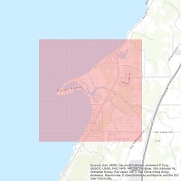
The grid functions as a template for technicians and researchers wishing to map various ground conditions at a resolution of 10-meters. Our grid is aligned with the UTM grid which is a widely used for mapping work in North America. Initially we’ll be using it to map the occurrence of invasive plant species.
We see an advantage to using the same reference grid for multiple mapping projects. This should allow users to start recording data without having to take the time to develop a grid from scratch. Using the same reference grid across multiple studies should allow for easier comparisons between studies. The studies may involve different species and time frames but at least the spatial aspect will be uniform. download shapefile
